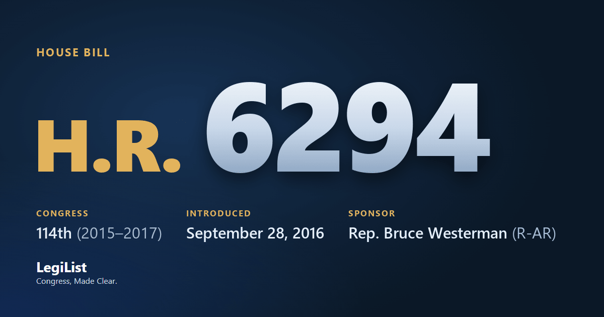
Geospatial Data Act of 2016
Latest action · Sep 30, 2016 Referred to the Subcommittee on Environment.
Progress
Where this bill reached, and when. A stage with no date was not reached; one that failed a vote and later carried shows the date it carried.
- IntroducedSep 28, 2016
- Passed HouseNot reached
- Passed SenateNot reached
- To the PresidentNot reached
- Became lawNot reached
Summary
Geospatial Data Act of 2016
This bill establishes: (1) in the Office of Management and Budget (OMB) the Federal Geographic Data Committee (the committee), which shall be the lead entity in the executive branch for the development, implementation, and review of policies, practices, and standards relating to geospatial data; and (2) in the executive branch the National Geospatial Advisory Committee to provide advice and recommendations to the committee.The National Spatial Data Infrastructure (as defined in this bill) shall ensure that geospatial data from multiple sources is available and easily integrated to enhance the understanding of the physical and cultural world. The committee shall prepare a strategic plan for the implementation of the infrastructure consistent with national security, national defense, and emergency preparedness program policies regarding data accessibility.
The committee shall operate GeoPlatform, an electronic service that provides access to geospatial data and metadata for geospatial data.
Agencies whose functions involve geospatial data shall implement a strategy for advancing geographic information and related geospatial data activities appropriate to that agency's mission in support of the strategic plan for the infrastructure. Such agencies shall disclose each contract, cooperative agreement, grant, or other transaction that deals with geospatial data.
Four years after enactment of this bill, federal funding shall not be made available for the collection, production, acquisition, maintenance, or dissemination of geospatial data that does not comply with applicable standards established by the committee.
The committee and agencies using geospatial data shall rely upon and use private individuals and entities for the acquisition of commercially available surveying and mapping and the provision of geospatial services, to the maximum extent practical.
Cosponsors 2
Members who signed on, in the order they did. All signed on Sep 28, 2016.
| Seat | Cosponsor | Signed on | |
|---|---|---|---|
| R-AR | Eric A. "Rick" Crawford | Original | Sep 28, 2016 |
| R-AR | J. French Hill | Original | Sep 28, 2016 |
Committees 2
Where it was sent and what each committee and subcommittee did with it, in order.
| Chamber | Committee | What it did |
|---|---|---|
| House | Science, Space, and Technology Committee | Referred Sep 28, 2016 |
| Environment Subcommittee | Referred Sep 30, 2016 | |
| House | Oversight and Government Reform Committee | Referred Sep 28, 2016 |
Actions 3
Everything that happened, newest first.
- Sep 30, 2016Referred to the Subcommittee on Environment.
- Sep 28, 2016Introduced in House
- Sep 28, 2016Referred to the Committee on Science, Space, and Technology, and in addition to the Committee on Oversight and Government Reform, for a period to be subsequently determined by the Speaker, in each case for consideration of such provisions as fall within the jurisdiction of the committee concerned.
Research
What has been written about this bill: committee reports, cost estimates, the sponsor’s authority statement, printed hearings and the Congressional Research Service’s work.
Constitutional authority
The sponsor’s statement, as printed in the Congressional Record, vol. 162, no. 147, September 28, 2016, page H6107.
CRS reports 1
Congressional Research Service work that CRS links to this bill or the law it became, newest first.
About this bill 1
Products that name it in their title: its number, its law number or one of its short titles.
| Product | Title | Kind | Published |
|---|---|---|---|
| R45348 | The Geospatial Data Act of 2018 Archived | Report | Oct 22, 2018 |
Related bills 1
Companion bills and other measures the record links to this one.
| Bill | Title | Relationship | Latest action |
|---|---|---|---|
| S 740 | Geospatial Data Act of 2015 | Related bill | Mar 16, 2015 |
Titles 2
Every title it has carried, official and short, at each stage.
- Official Title as Introduced
- To improve the coordination and use of geospatial data.
- Short Titles as Introduced
- Geospatial Data Act of 2016
Subjects
Assigned by the Library of Congress. Policy area: Science, Technology, Communications.
Text 1
Each version as it was printed, newest first.
- Sep 28, 2016Introduced in House
Support LegiList
This page is free, carries no paywall, and is built and maintained by one person. If the record here is useful to you, a few dollars keeps it going.
Everything here is as published by Congress: the summary is the Congressional Research Service's, the action wording is the clerks', and the subjects are the Library of Congress's. How far it got is read from the actions themselves, taking the most recent one of each kind, so a bill that failed a vote and later passed is shown as having passed. Records come from this bill on Congress.gov and govinfo.gov; cost estimates are the Congressional Budget Office's, and the hearings are the printed hearings GovInfo publishes, which can appear months after the hearing.